Reading the Frozen Ground at the Top of America
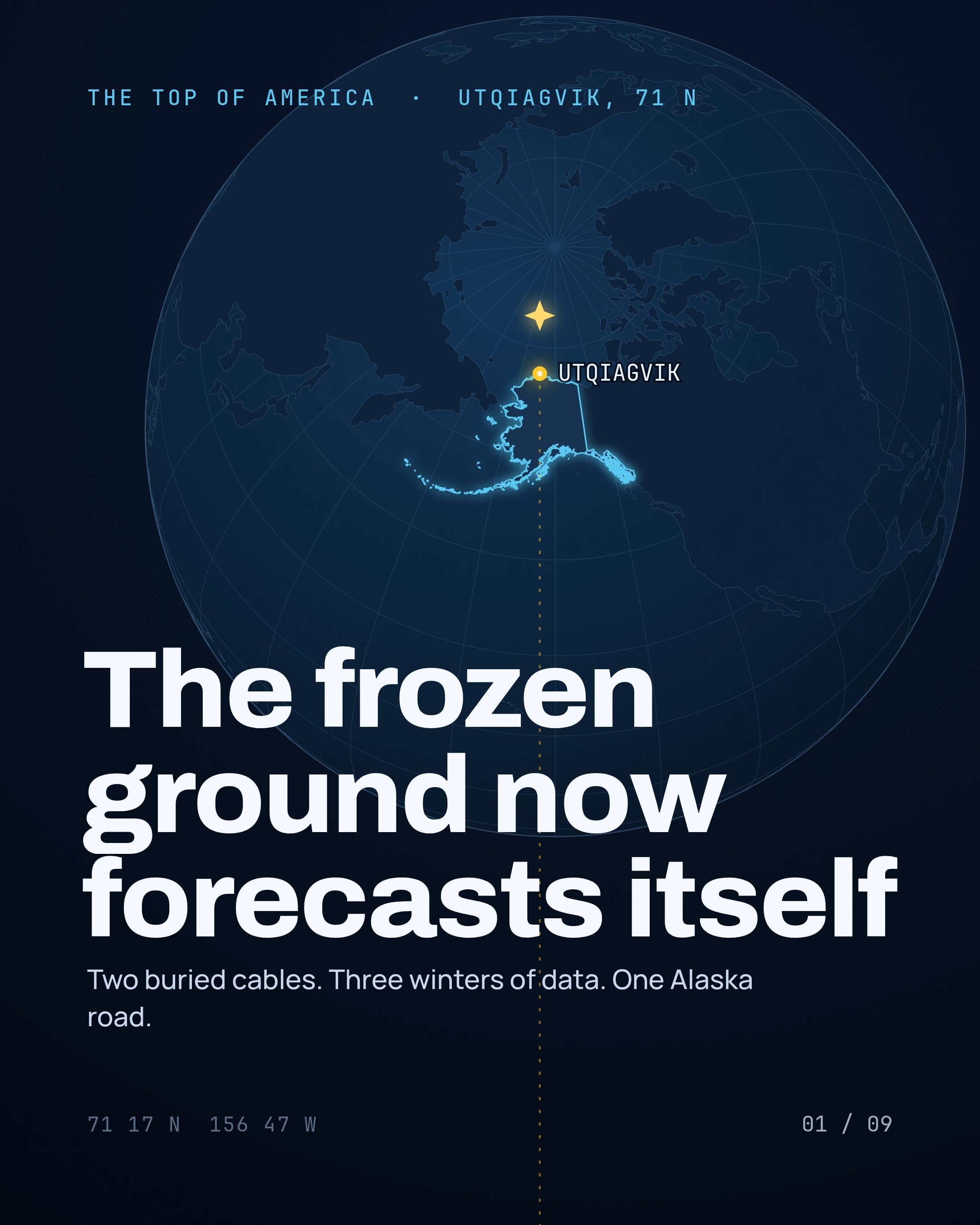
Under one road in Utqiagvik, the northernmost US city, two buried cables now teach the frozen ground to forecast its own thaw.
The deck
SWIPE, SCROLL OR CLICK A SLIDE TO GO FULLSCREEN · 9 SLIDES
The story
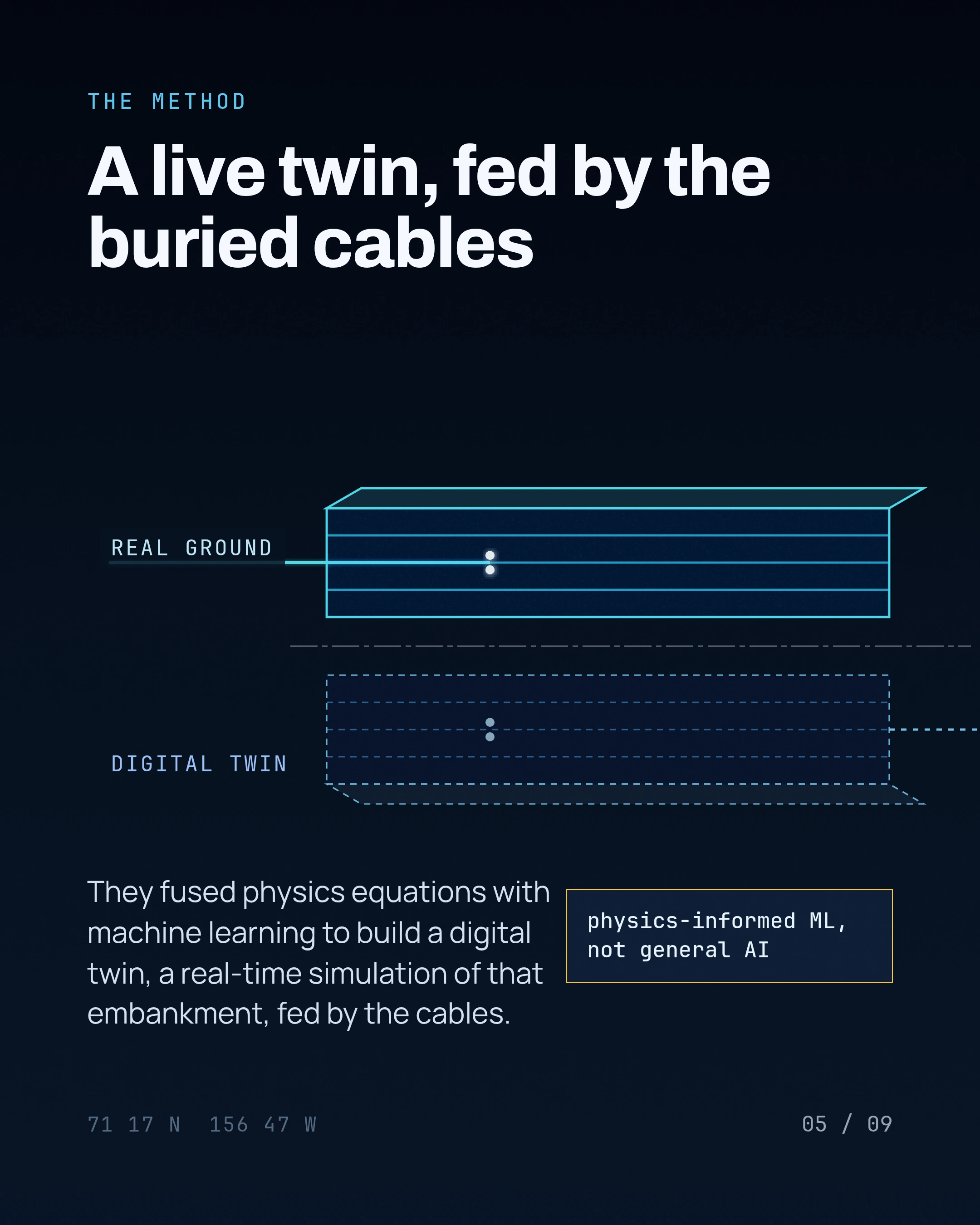
A Penn State team fused physics equations with machine learning into a digital twin of that embankment, fed by three winters of thermal and seismic data. This is narrow, physics-informed AI, not a general one, and it models exactly one kilometer of Alaska permafrost.
The deck walks through the buried fiber, the twin, what it actually forecasts, and the honest limit, one prototype embankment, not a statewide system.
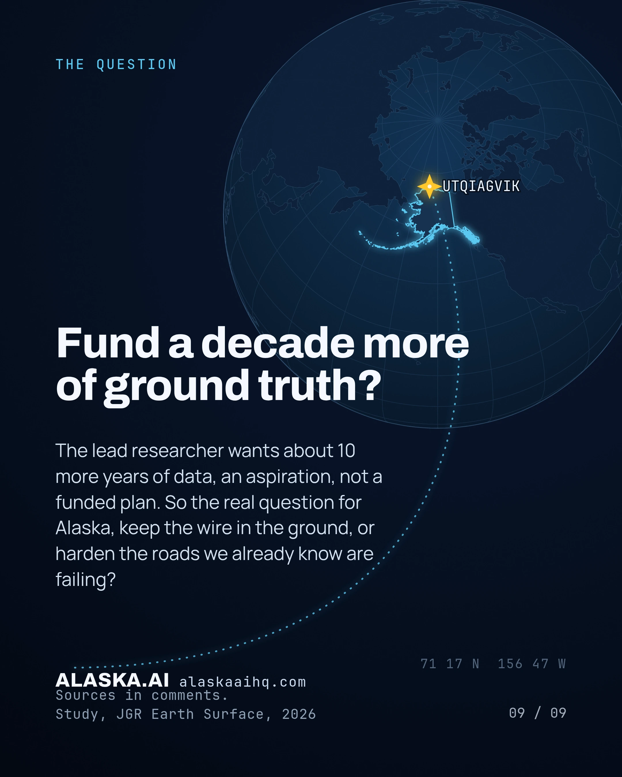
If one lit kilometer can forecast its own thaw, should Alaska fund a decade more of that data, or spend now to rebuild the roads already breaking?
What we verified
27 CLAIMS, EACH RE-FETCHED FROM ITS SOURCE BEFORE THIS DECK SHIPPED
A two-stage deep-learning pipeline pairs a patch-based pretrain classifier with HerdNet point detection to count caribou in gigapixel aerial mosaics.
The method achieved F1 scores of 95.5% (2017) and 93.3% (2019), beating baseline initialization.
The study covers five caribou herds distributed across Alaska (Central Arctic, Fortymile, Porcupine, Teshekpuk, Western Arctic).
Imagery was captured at roughly 2 to 4.3 cm ground-sampling distance from about 450 m altitude during July 2017 and July 2019 surveys.
The study was published in Frontiers in Ecology and Evolution on February 26, 2026.
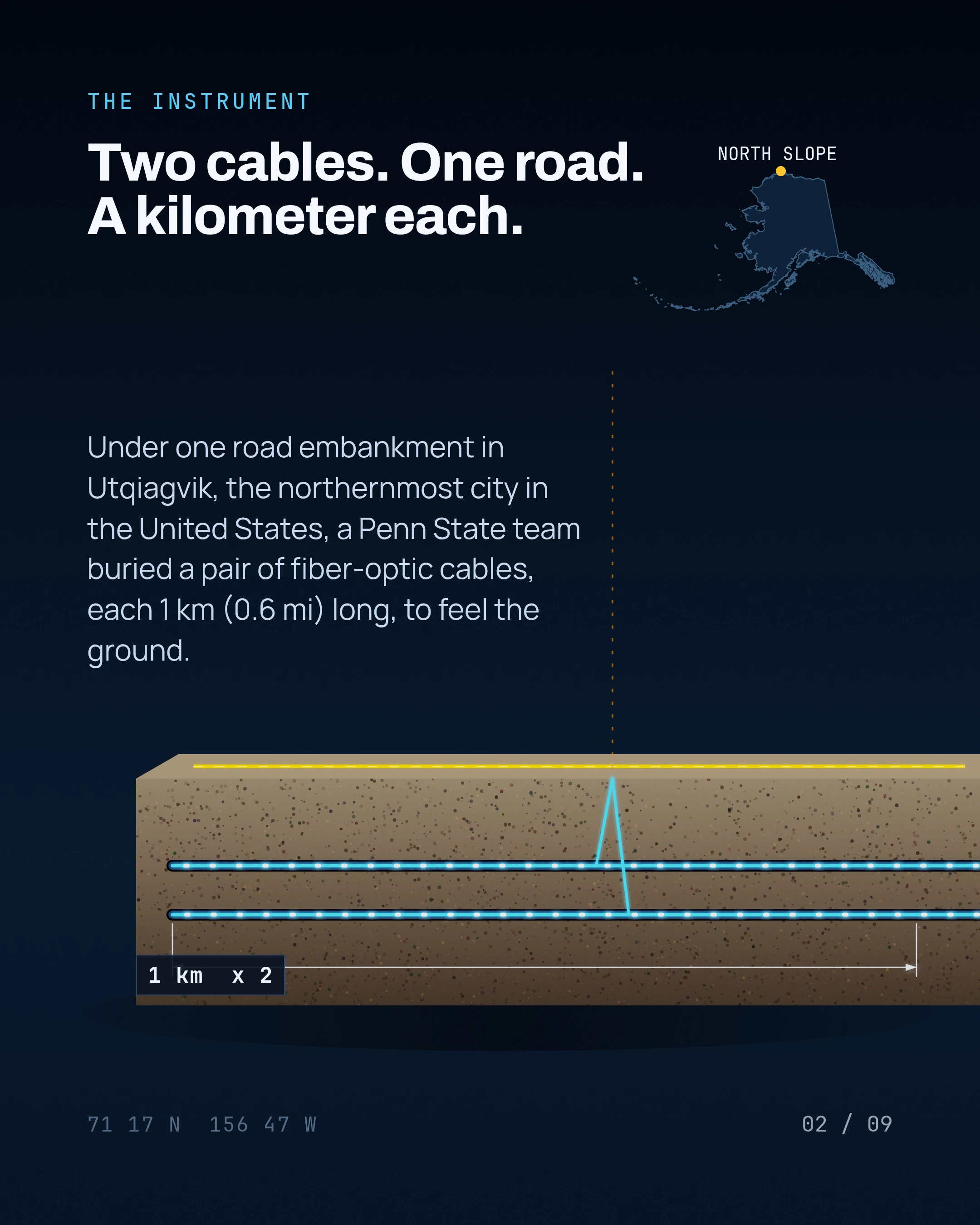
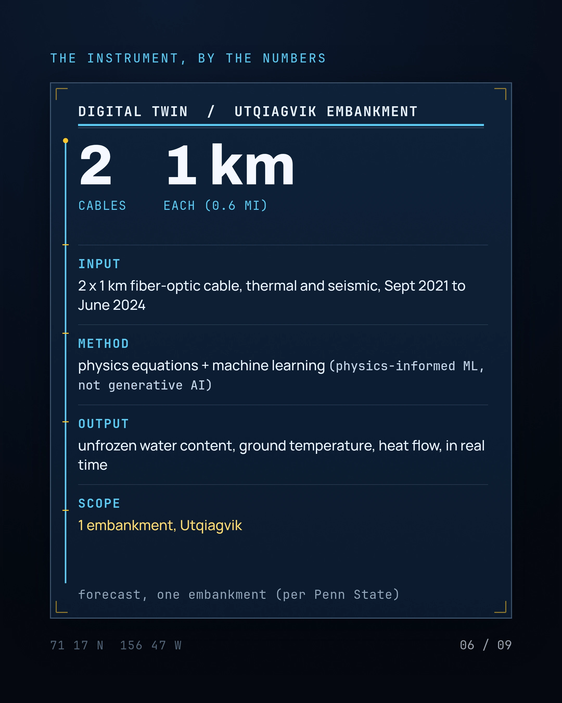
A Penn State-led team buried a pair of 1-kilometer-long fiber-optic cables to collect thermal and seismic data from the ground.
A section of the cables runs along a road embankment in Utqiagvik, Alaska, the northernmost city in the United States.
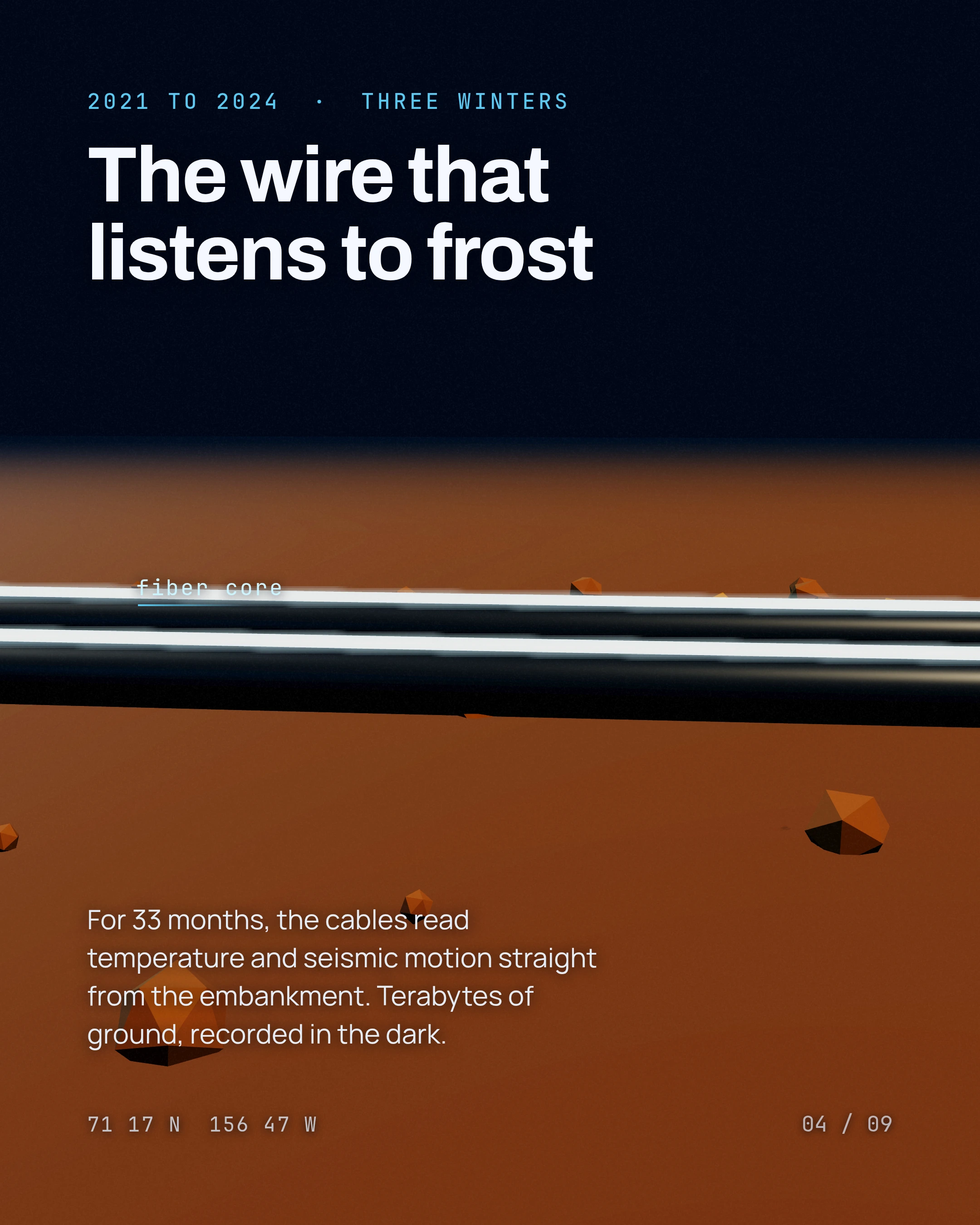
The cables collected temperature and seismic data from September 2021 to June 2024.
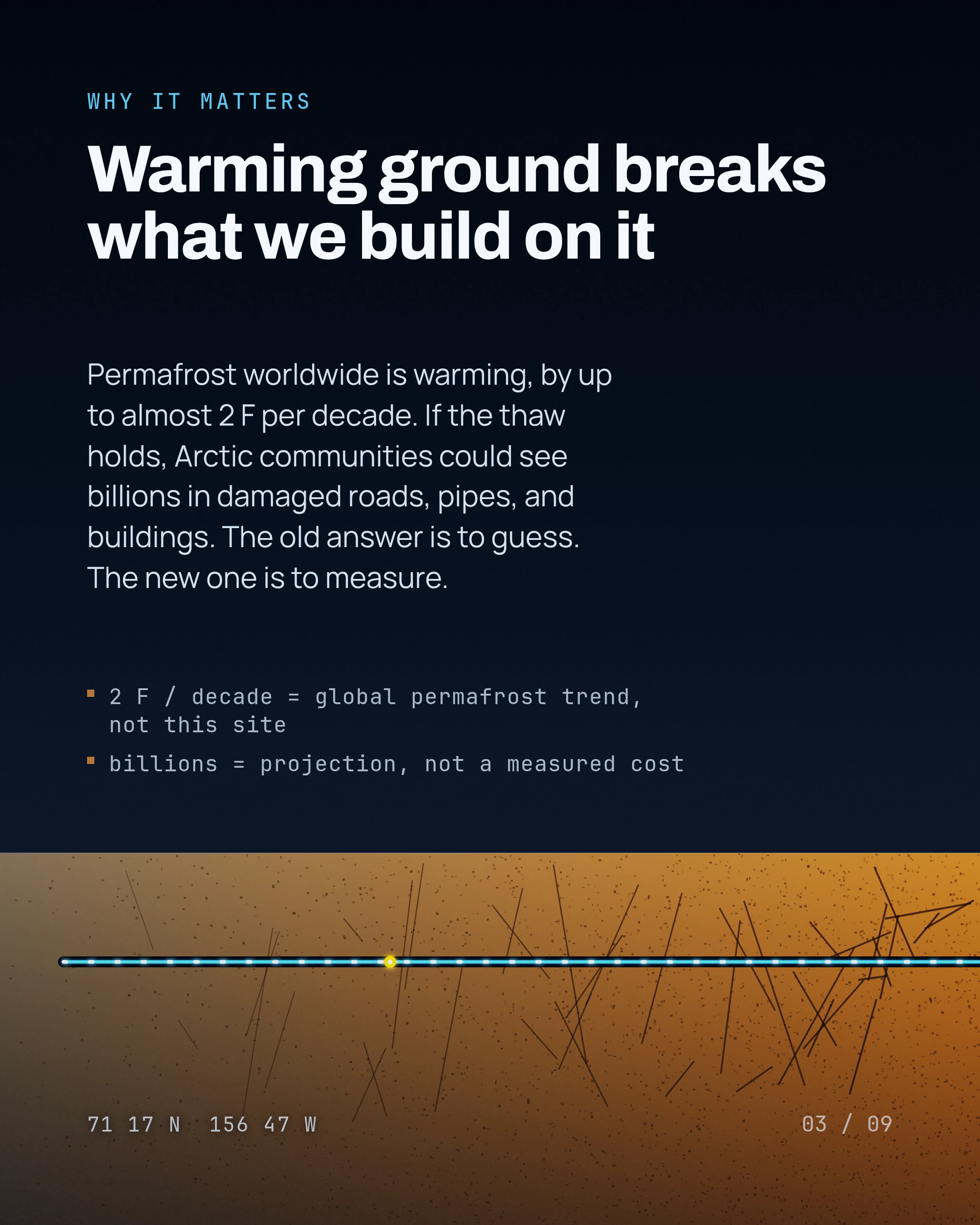
Permafrost worldwide is warming, with ground temperatures increasing by up to almost 2 degrees F per decade (a general statement about global permafrost, not the measured Utqiagvik embankment).
Lead researcher Ming Xiao said about 10 more years of data would be extremely valuable to the broader scientific community.
The work was led by Ming Xiao (professor of civil engineering) and Tieyuan Zhu (associate professor of geosciences), both at Penn State.
The study was published in the Journal of Geophysical Research, Earth Surface in 2026.
The framework is a digital twin, it processes terabytes of data to create a real-time simulation of an area or object.
The method combines physics equations, mathematical functions, and AI-powered machine learning (physics-informed machine learning).
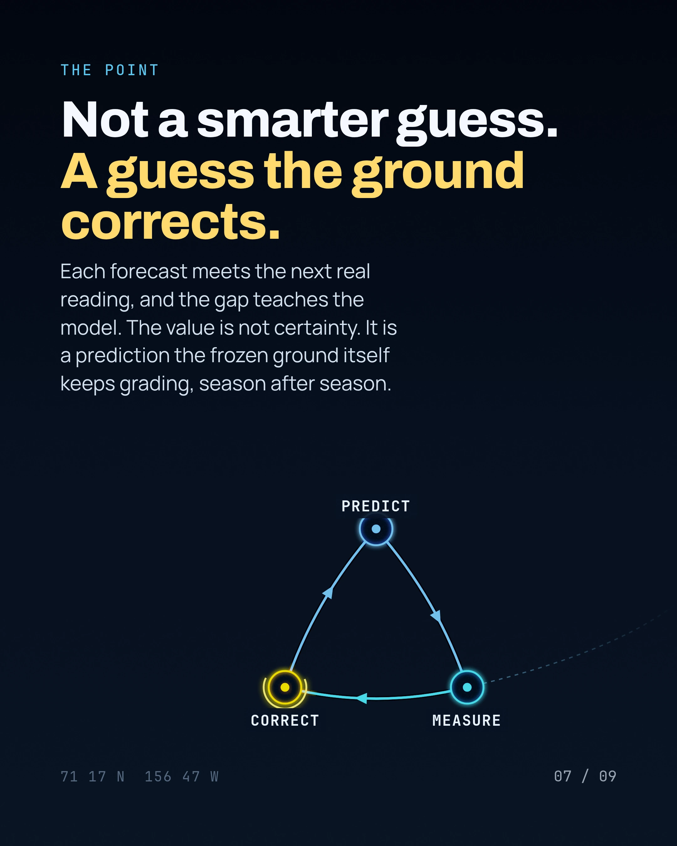
The approach more accurately predicts the embankment permafrost's physical properties, including unfrozen water content, ground temperature, and how heat moves through the ground.
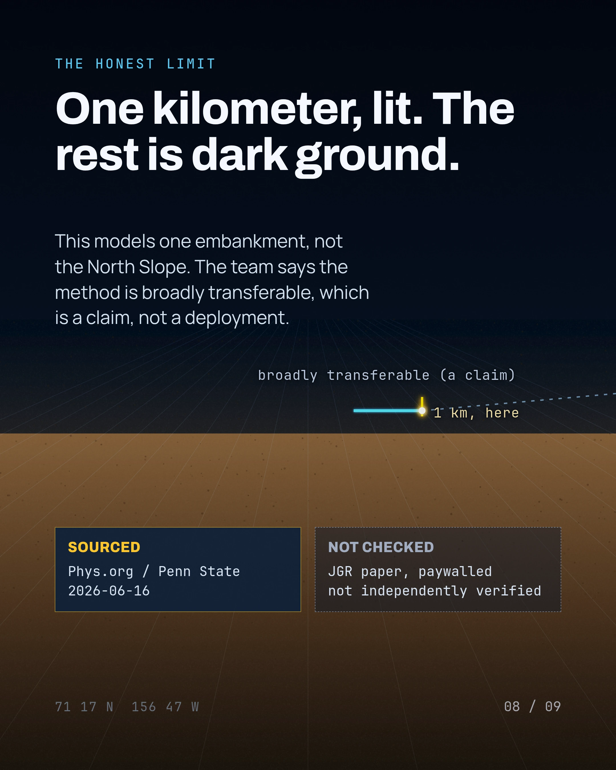
The digital twin simulates one specific road embankment, but the researchers say the idea and process can be broadly transferable to other cold-region infrastructure monitoring.
Arctic communities and governments could see billions of dollars in infrastructure damage over the coming decades if the thawing trend continues.
Alaska DNR proposes to lease a 715.4-acre parcel of North Slope state land (ADL 422741) for a natural-gas-powered high-performance-computing facility.
The proposed lease term is 50 years.
The public comment deadline was July 17, 2026, at 4:30 PM Alaska Daylight Time.
The site is about 26 miles south of Deadhorse and roughly one mile west of the Dalton Highway.
DNR received more than 500 public comments, of which fewer than a dozen endorsed the project.
The comment period was extended to July 17 due to the volume of comments, public interest, and requests for extension.
The campus would include 1 to 3 gigawatts of on-site natural-gas-fired generation.
The facility would burn roughly 350 to 500 million standard cubic feet of gas per day.
Construction would require roughly 7.1 million cubic yards of gravel fill.
Estimated project cost exceeds $10 billion, with roughly $500 million in up-front site development.
Beats
This article is on Alaska land and permitting for AI · Alaska AI research and science. Each beat page keeps every decision and every article on that subject in one place.